

Understanding the Central Park Map
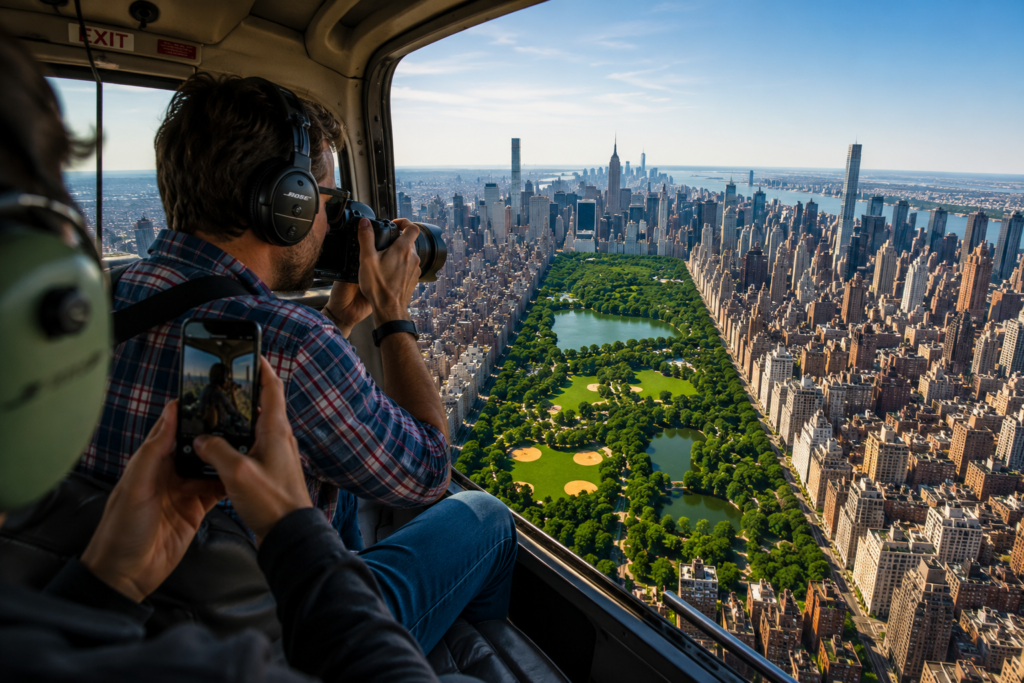
Many visitors arrive at Central Park expecting a simple city park, only to discover that navigating its vast landscape is more challenging than they imagined. The park stretches from 59th Street to 110th Street between Fifth Avenue and Central Park West, covering 843 acres that include Bethesda Terrace, Belvedere Castle, Conservatory Garden, Harlem Meer, and The Great Lawn.
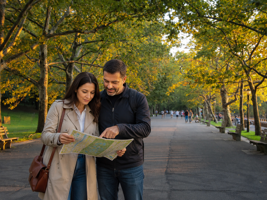
A Central Park map guide for first time visitors quickly reveals that these landmarks are spread across different parts of the park rather than gathered around one central area, something clearly shown on the official Central Park Conservancy visitor map.
Unlike smaller city parks where most highlights can be reached within a few minutes, Central Park places Bow Bridge, Belvedere Castle, Conservatory Garden, Harlem Meer, and North Woods in completely different sections of the landscape.
The Central Park Conservancy’s downloadable map shows that some attractions sit near the busy 59th Street entrances, while others are located close to 105th Street and 110th Street.
Understanding those distances before arriving often prevents unnecessary backtracking and helps create a smoother day in the park.
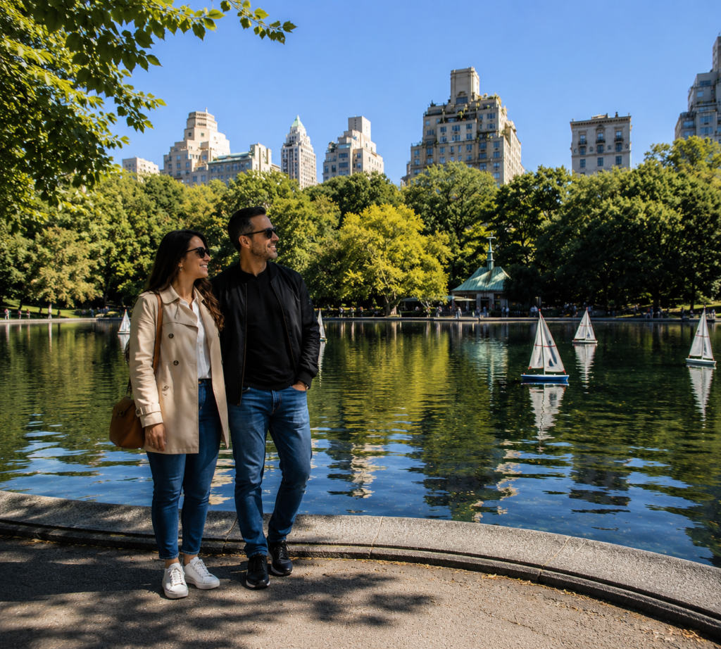
The sound of horse carriages near Grand Army Plaza and the steady flow of people entering from Central Park South naturally pull attention toward the southern end first. Yet the official Central Park Conservancy map reveals that places such as North Woods, Conservatory Garden, and Harlem Meer occupy a large portion of the park beyond Bethesda Terrace, The Mall, and other heavily visited southern landmarks.
▣ Central Park Is Larger Than It Appears on Most Maps
A surprising number of people underestimate the distance between Grand Army Plaza near 59th Street and Harlem Meer near 110th Street, only realizing after arrival that Central Park stretches roughly 2.5 miles from south to north according to official information provided by the Central Park Conservancy.
▣ Attractions Are Spread Across Different Sections of the Park
From Bethesda Terrace near East 72nd Street to Belvedere Castle beside Turtle Pond around West 79th Street and Conservatory Garden near Fifth Avenue and 105th Street, many of the Central Park attractions by location are spread across separate sections rather than clustered within one sightseeing area, which becomes clear when viewing the official Central Park Conservancy map.
▣ Knowing the Layout Helps You Avoid Unnecessary Walking
Before deciding where to go first, it helps to know that Bethesda Terrace, Bow Bridge, and The Mall sit within a relatively compact area in the southern-middle section of the park, while reaching Conservatory Garden near 105th Street or Harlem Meer near 110th Street requires a much longer journey north.
For those hoping to include some of the best bridges to visit in Central Park during the same outing, understanding the layout early can make route planning far easier.
Understanding the Basic Layout
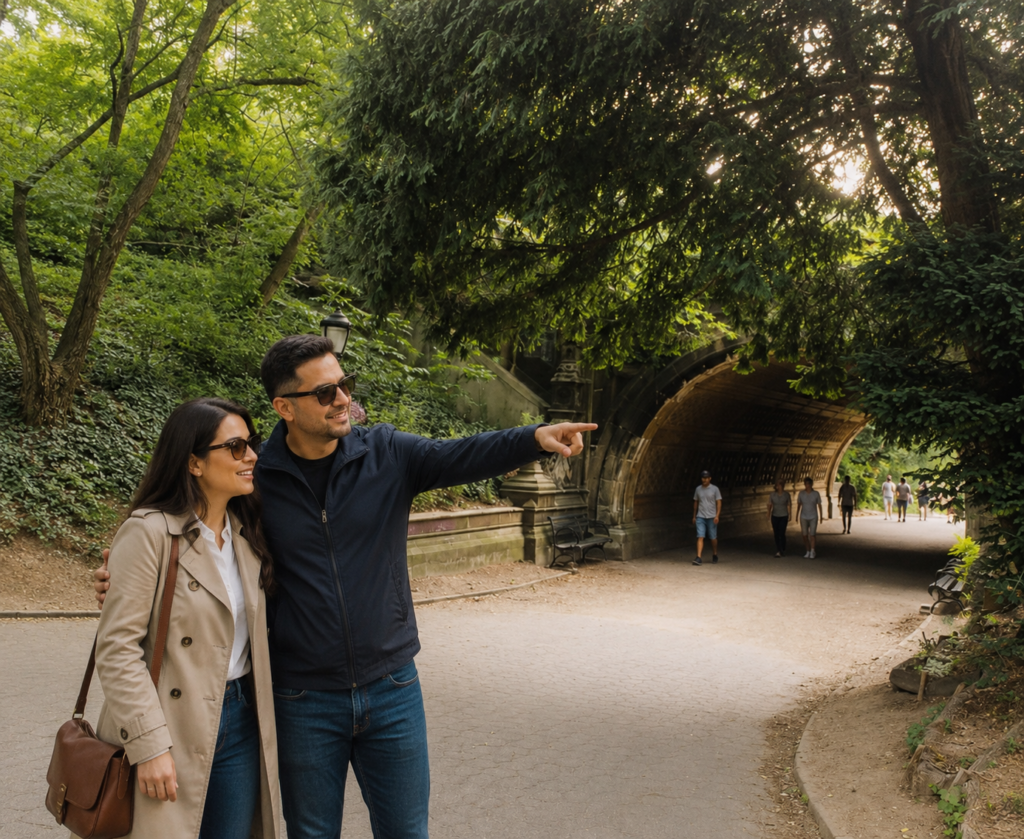
Stretching from 59th Street to 110th Street, Central Park follows a layout that becomes surprisingly easy to understand once you recognize its major sections. The official Central Park Conservancy map shows a long north-to-south park framed by Fifth Avenue on the east and Central Park West on the west, making the Central Park layout explained for visitors much simpler than many people initially expect.
A detail that often surprises first-time planners is that many well-known attractions are positioned along a natural progression through the park rather than scattered randomly. Looking at the Central Park map before arrival can help identify which areas belong together and which destinations require a longer walk between them.
◎ The Park Stretches From 59th Street to 110th Street
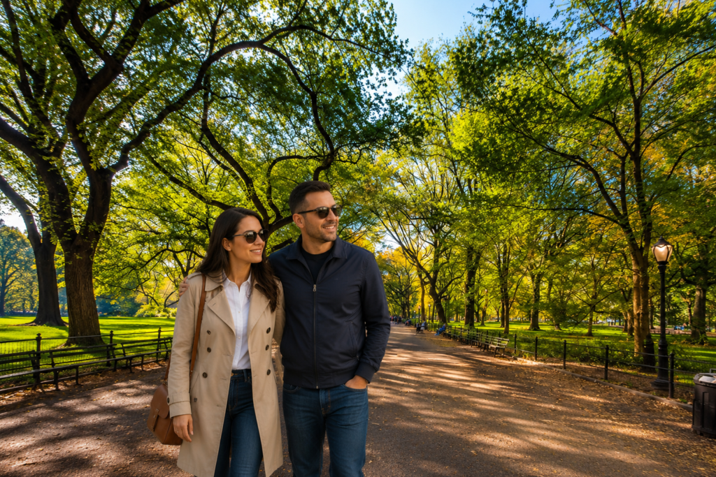
According to the Central Park Conservancy, (landscape, point of interests) the park extends roughly 2.5 miles from Grand Army Plaza near 59th Street to Harlem Meer near 110th Street, a distance that feels even larger when sunlight filters through the tree-lined paths on a busy afternoon.
◎ Central Park Is Divided Into South, Mid-Park, and North Sections
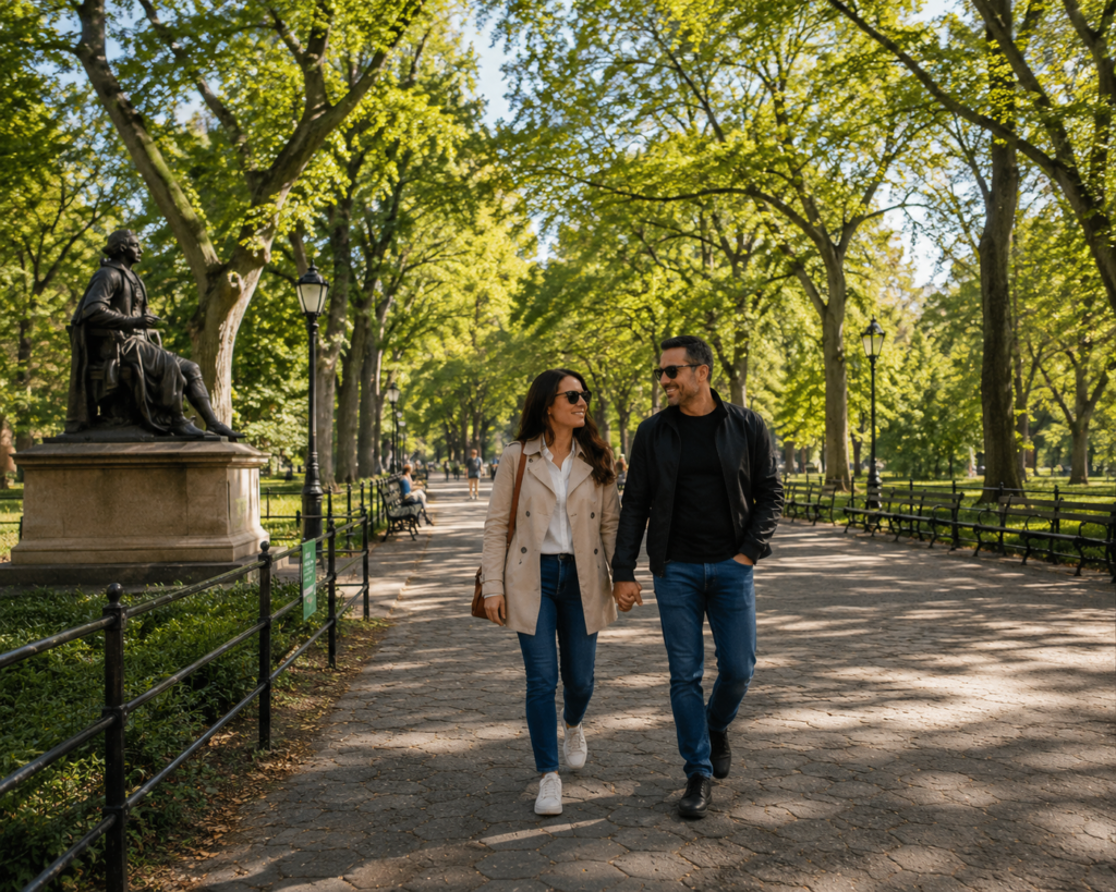
Rather than functioning as one continuous sightseeing zone, the park is commonly understood through its South, Mid-Park, and North sections, each containing different landscapes, landmarks, and walking experiences.
◎ East Side and West Side Landmarks Are Not Always Close Together
Unlike what many map apps seem to suggest at first glance, attractions near Fifth Avenue such as Conservatory Garden are not necessarily a short walk from destinations on the western side, including Belvedere Castle and nearby Turtle Pond.
◎ Why Street Numbers Help Visitors Navigate the Park
If directions inside the park ever feel confusing, street numbers provide one of the easiest reference systems available; knowing that Bethesda Terrace sits near 72nd Street while Conservatory Garden lies close to 105th Street instantly creates a clearer sense of distance and direction.

This simple habit is particularly useful for those researching Central Park for solo travelers, as it becomes much easier to judge walking distances between attractions before setting out.
Exploring South Central Park
Compared with North Woods and Harlem Meer, the southern section gathers several of the famous landmarks on the Central Park map into a relatively compact area between 59th Street and 79th Street, which is why many people begin exploring this part of the park when using the official Central Park Conservancy map.
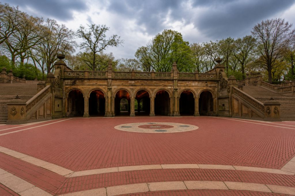
A quick glance at the official Central Park Conservancy map shows The Pond near Grand Army Plaza at the southeastern corner, The Mall extending north from Literary Walk, Sheep Meadow spreading across the western side, and Bethesda Terrace and Bow Bridge positioned close together beside The Lake.
The gentle movement of water near The Lake often helps people picture where Bow Bridge and Bethesda Terrace sit within the park’s layout before they even arrive. Because several well-known places are located within a manageable walking area, many first-time planners naturally focus on this section when deciding on the best area of Central Park for first time visitors.

✓ The Park Stretches From 59th Street to 110th Street – Although Central Park reaches all the way to 110th Street, a large number of commonly marked map locations in the southern section appear within the stretch between 59th Street and roughly 79th Street, making this area easier to fit into a shorter visit.
✓ Central Park Is Divided Into South, Mid-Park, and North Sections – On most Central Park maps, The Pond, The Mall, Sheep Meadow, Bethesda Terrace, and Bow Bridge sit within the southern section, while the landscape gradually changes as the park extends toward Mid-Park and beyond.

✓ Why Street Numbers Help Visitors Navigate the Park – Before deciding where to go first in Central Park, it helps to remember that The Pond is located near 59th Street while Bethesda Terrace sits closer to 72nd Street; keeping those street numbers in mind makes it easier to estimate distances and combine affordable things to do in Central Park without unnecessary backtracking.
✓ East Side and West Side Landmarks Are Not Always Close Together – A surprising detail for many planners is that The Pond near Fifth Avenue and Sheep Meadow on the western side of the park can appear deceptively close on a phone screen, even though reaching one from the other still requires a noticeable walk.
Highlights of Mid-Park
At the heart of Central Park, busy sightseeing areas gradually give way to broader landscapes, open lawns, and a more relaxed pace. The official Central Park Conservancy map places several important mid-park locations between roughly 79th Street and 86th Street, making this section easier to identify when viewing a Central Park map by sections before arrival.

A noticeable change happens here. The denser concentration of southern landmarks begins to spread out, and longer stretches of greenery appear between major map points, helping many people understand the park’s overall shape more clearly through the Central Park Conservancy visitor map.
● The Transition Between Busy Attractions and Natural Landscapes – The shade from mature elm and oak trees becomes more noticeable around the Great Lawn, Turtle Pond, and nearby paths, where the official Central Park map shows a gradual shift from heavily visited southern routes toward larger open landscapes.

● Cultural and Historic Areas Located Near the Center – Near West 79th Street, both Belvedere Castle and Turtle Pond appear close together on the Central Park Conservancy map, while the National Park Service also identifies Belvedere Castle as one of the park’s recognized historic structures.
● Why Mid-Park Works Well for Visitors Exploring Beyond the Main Tourist Zone – Unlike the southern section where several famous map locations sit relatively close together, Mid-Park offers more space between landmarks, creating a calmer route for those learning how to read a Central Park map for the first time.
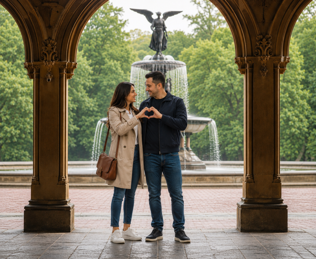
For anyone already carrying a Central Park packing list for visitors, this central area often serves as a useful reference point because routes can continue south toward Bethesda Terrace, west toward the Great Lawn, or north toward the quieter sections shown on the official Central Park Conservancy map.
Top Places in the Northern Section
A surprising number of visitors never explore the northern end of Central Park, despite it containing some of the park’s most peaceful scenery. The official Central Park Conservancy map shows this section extending roughly from 96th Street to 110th Street, where broader natural areas gradually replace many of the heavily visited locations found farther south.
Curiously, several places that appear close together on a phone map are separated by winding paths, wooded terrain, and elevation changes, which is one reason many planners overlook the northern section when studying a Central Park map with major attractions before arrival.

◍ Quieter Areas Many Visitors Never Reach
Near the northeastern corner of the park, Harlem Meer sits close to Fifth Avenue and East 110th Street, while North Woods occupies a large area farther west, and both locations are easy to spot on the official Central Park Conservancy map, yet many people never walk this far north during their first visit.

◍ Natural Landscapes and Local-Favorite Spaces
A gentle breeze often moves across Harlem Meer while tree-covered paths surround parts of North Woods, and the Conservatory Garden near Fifth Avenue and 105th Street serves as another important map reference point identified by both the Central Park Conservancy and the National Park Service.
◍ Why the Northern End Feels Different From the Southern End
Unlike the southern section where major landmarks are clustered within shorter walking distances, the northern end spreads key locations across larger natural areas, making orientation feel different even though the same park map is being used.
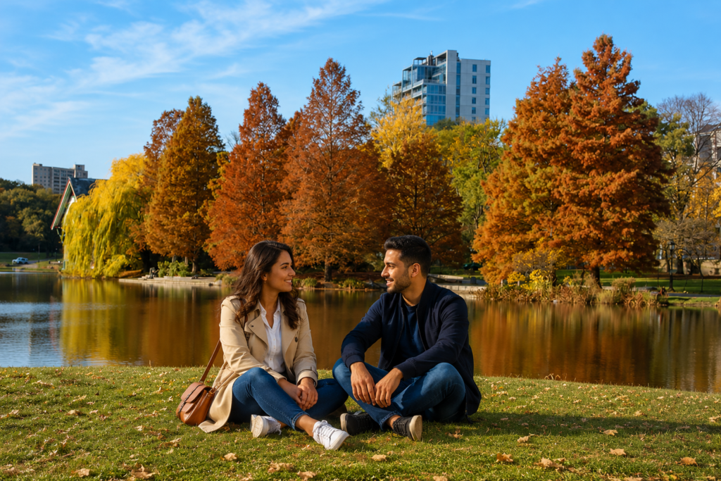
For those wondering about the easiest way to navigate Central Park, recognizing Harlem Meer, North Woods, and Conservatory Garden as northern anchor points can simplify route planning, especially when reviewing what to pack for a day in Central Park and deciding how much ground to cover during a single visit.
Where to Go First
▶ If You Want Famous Central Park Landmarks – Start near the southern section of the park, where locations such as Bethesda Terrace, Bow Bridge, The Mall, and Sheep Meadow appear relatively close together on the map. This area helps you cover several well-known locations without crossing large portions of the park.
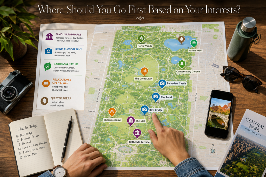
▶ If You Prefer Scenic Views and Photography – Focus on the central and southern sections where Bow Bridge, The Pond, and Belvedere Castle are marked on most park maps. These areas place several photogenic locations within a manageable walking route.
▶ If You Enjoy Gardens and Nature – Head toward the northern and eastern parts of the park where Conservatory Garden, North Woods, and Harlem Meer are located. These areas are spread farther apart but offer a greener and more natural layout on the map.

▶ If You Are Looking for Relaxation and Open Space – Look for large open areas such as Sheep Meadow and the Great Lawn. Both are easy to identify on the map and provide plenty of room to slow down without constantly moving between attractions.
▶ If You Want Quieter Areas Away From Major Crowds – Consider routes leading toward Harlem Meer, North Woods, or the northern end of the park. These locations sit farther from many first-time sightseeing routes and often involve less foot traffic on a typical day.
Tips for Using the Map
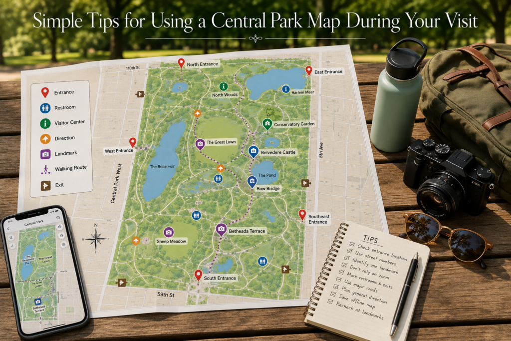
- Check your entrance location before entering the park.
- Use street numbers to estimate walking distances.
- Identify one landmark in each section of the park.
- Do not judge distances solely by phone-map zoom levels.
- Mark restrooms, visitor centers, and exits before starting.
- Use major roads as navigation reference points.
- Plan a general direction instead of a strict route.
- Save an offline map in case mobile signal weakens.
- Recheck your position whenever you reach a major landmark.
FAQs
🔷 What is the best area of Central Park for first-time visitors?
Most first-time visitors start in the southern section because several well-known locations are relatively close together. Bethesda Terrace, Bow Bridge, The Mall, Sheep Meadow, and The Pond all appear within a manageable area on the map, making it easier to see multiple highlights without covering long distances. This is why many guides consider the southern end the best area of Central Park for first time visitors.
🔷 How do I read the Central Park map?
A good starting point is identifying your entrance and then locating nearby landmarks. Street numbers help indicate whether you are moving north or south through the park, while major locations such as Bethesda Terrace, Belvedere Castle, and Harlem Meer act as useful reference points. Using a Central Park map guide for first time visitors can make orientation much easier before you begin walking.
🔷 Is Central Park divided into different sections?
Yes. Central Park is commonly divided into South, Mid-Park, and North sections. The southern section contains many famous landmarks, Mid-Park includes areas such as Belvedere Castle and the Great Lawn, while the northern section features Harlem Meer, North Woods, and Conservatory Garden. Understanding these sections helps make the map easier to follow.
🔷 What attractions are located in South Central Park?
South Central Park contains several of the park’s most recognizable locations, including The Pond, The Mall, Bethesda Terrace, Bow Bridge, and Sheep Meadow. Many first-time visitors focus on this section because these landmarks are positioned relatively close together on the map.
🔷 Where are the quietest areas shown on the Central Park map?
Many of the quieter locations are found in the northern section of the park. Areas such as North Woods, Harlem Meer, and parts of Conservatory Garden generally sit away from the busiest sightseeing routes. On most maps, these locations appear closer to 96th Street through 110th Street.
🔷 Can I explore Central Park without a printed map?
Yes. Many people use digital maps on their phones or download official maps before arriving. Major landmarks, street numbers, and park entrances usually provide enough reference points to navigate comfortably. Families, solo visitors, and those searching for Central Park attractions for teens often find that a digital map is sufficient for planning a route through the park.






6 Responses